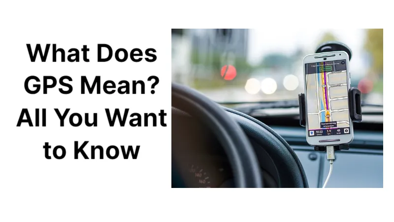
We are going to talk about What Does GPS Mean? Read on for more detailed information.
GPS, or the Global Positioning System, is a global navigation satellite system that provides location, velocity and time synchronization.
GPS is a ubiquitous technology that can be found in your watch, smartphone, and automobile. GPS helps you get where you are going, from point A to point B. Read this article to find out more about what GPS is, how it functions, its history, and potential future developments.
What is GPS and How Does It Work?
The Global Positioning System (GPS) is a navigation system using satellites, a receiver and algorithms to synchronize location, velocity and time data for air, sea and land travel.
The satellite system consists of a constellation of 24 satellites in six Earth-centered orbital planes, each with four satellites, orbiting at 13,000 miles (20,000 km) above Earth and traveling at a speed of 8,700 mph (14,000 km/h).
Even though we only need three satellites to produce a location on the surface of the earth, we frequently use a fourth satellite to confirm the data from the other three. The fourth satellite also transports us into the third dimension and enables us to determine a device’s altitude.
What Are the Three Elements of GPS?
GPS is a three-part system: satellites, ground stations, and receivers. Satellites behave like the stars in constellations; we always know where they should be. The satellites are monitored, controlled, and their positions—both past and future—are ascertained in part by the ground stations. A receiver, like you might find in your phone or in your car, is constantly listening for signals from these satellites, which can be used like a giant tape measure between the receiver and satellites.
Your receiver can pinpoint your location after calculating your separation from four or more satellites. Your location on the ground can be pinpointed with incredible accuracy in a matter of seconds from thousands of miles in space, frequently within a few yards of your actual location. Many modern receivers can pinpoint your location to within a millimeter or two.
Native Navigation Vs. Your Phone
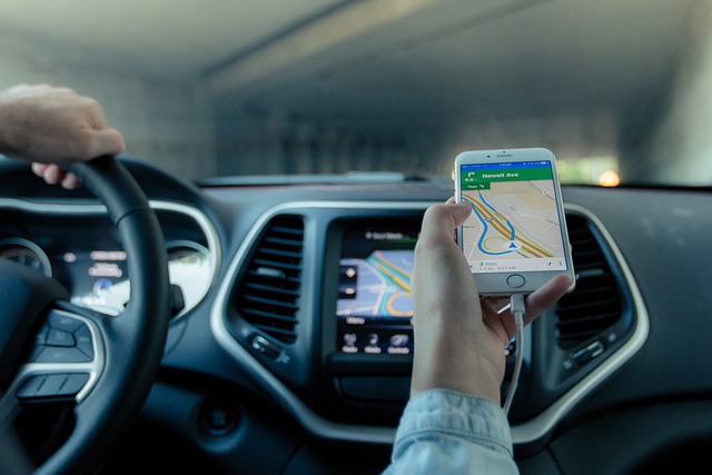
The ability of integrated navigation systems to function when GPS signals are momentarily obstructed by terrain such as mountains, structures, or tunnels is where they continue to outperform portables and smartphones. Until GPS signals are regained, in-dash navigation accurately routes and displays the vehicle on a map using the speedometer, map matching, and compass- or gyroscope-based dead reckoning. Additionally, unlike smartphones, built-in navigation systems typically store their maps onboard and are unaffected by dropped cellular signals.
However, it is worth noting that some of the aforementioned dead-reckoning features have started to be added to Apple CarPlay and Android Auto, both of which combine phone-based navigation apps and cellular-based mapping with in-dash display screens. The system was no longer just sending display imagery and voice prompts to the car; as of 2019, we noticed that it was also receiving data from the car in an update to the Android Auto terms of service. These data — such as vehicle speed and steering-wheel position — can help phone-based navigation systems estimate the car’s position on a map even if its GPS signal is lost.

A Brief History of GPS
For thousands of years, humans have practiced navigation using the sun, moon, stars, and later, the sextant. The development of GPS during the 20th century was made possible by space-age technology.
Since its inception, GPS technology has been applied worldwide. Geolocation technology became a possibility after the 1957 launch of the Russian Sputnik I satellite, and the U.S. For submarine navigation, the Department of Defense started using it.
While releasing GPS to the public in 1983, the US government still retained control over the data. The full use of GPS by businesses and the general public didn’t become available until 2000, which eventually opened the door for further GPS development.
The Future of GPS
Countries continue to build and make improvements to their GPS systems. Worldwide efforts are being made to boost GPS capabilities, reliability, and accuracy.
For example:
- Smaller, more precise, and more effective GNSS receivers are anticipated, and GNSS technology is anticipated to permeate even the most price-sensitive GPS applications.
- Scientists and rescue workers are finding new ways to use GPS technology in natural disaster prevention and analysis in the event of an earthquake, volcanic eruption, sinkhole or avalanche. For the COVID-19 pandemic, researchers are looking at using cellphone location data to assist with contact tracing in order to slow down the spread of the virus.
- The launch of new GPS III satellites will refine As early as 2023, GPS accuracy to 1-3 meters, enhanced navigational capabilities, and durable components will be available. by using the L1C civilian signal to broadcast in order to communicate with other satellite systems.
- The next generation of GPS satellites will include better signal protection, decreased susceptibility to signal jamming and more maneuverability to cover dead zones.
- The National Aeronautics and Space Administration’s (NASA) Deep Space Atomic Clock is set to use a powerful onboard Future astronauts traveling to deep space will benefit from improved consistency in time thanks to the GPS satellite.
For both personal and commercial use, GPS tracking will probably become much more precise and efficient in the future.
Read about

